Geospatial Patterns of Multiple Environmental Exposures and Socioeconomic Status in Australian Cities
Describing patterns of environmental inequity observed Adelaide, Sydney, and Brisbane, and what this means for urban planning and population health policy.
Speakers
Content navigation
Description
Event Description
Phoebe will describe patterns of environmental inequity observed Adelaide, Sydney, and Brisbane, and what this means for urban planning and population health policy.
Abstract
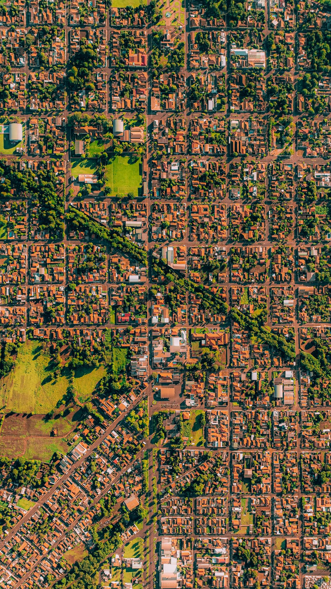
The urban built environment can influence population health. Environmental inequity occurs when environmental exposures are unequally distributed across a socioeconomic gradient. It is important to understand spatial distributions and patterns of correlations of urban environmental exposures to better inform urban planning and population health policy. This thesis compared the distribution of walkability, blue space, tree cover, parklands, nitrogen dioxide, and major road density tertiles across quintiles of socioeconomic advantage and disadvantage. Tertiles of each exposure were then overlaid with each other to identify co-locations of favourable or unfavourable built environments. It was found that some environmental inequity is occurring, but it is not a consistent pattern in each city. The results illustrate which areas should be prioritised in urban planning processes by using a methodology that can easily be replicated in other cities.
Speaker Biography
 Phoebe is an Honours candidate at the National Centre for Epidemiology and Population Health. She has interdisciplinary qualifications in environmental science and international relations. Prior to her Honours year, Phoebe was a Commonwealth public servant with experience advising on climate change and health policy and implementing social and infrastructure projects in the Barkly region, Northern Territory. She is passionate about the intersections between health, social equity, and the environment, and she believes in the power of maps to communicate research to decision-makers.
Location
This seminar is a hybrid event
Bob Douglas Lecture Theatre, Building 62, Mills Road ACTON 2601
Zoom Meeting ID: 872 6032 1033 | Password: 725221